
Thank you for supporting this site ❤️
Make a donation
Make a donation
Mount Kita topographic map
Click on the map to display elevation.
Thank you for supporting this site ❤️
Make a donation
Make a donation
About this map
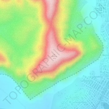
Name: Mount Kita topographic map, elevation, terrain.
Location: Mount Kita, Kita, Kita Cercle, Kayes, Mali (13.04473 -9.50996 13.04483 -9.50986)
Average elevation: 427 m
Minimum elevation: 323 m
Maximum elevation: 604 m
Thank you for supporting this site ❤️
Make a donation
Make a donation