
Sende topographic map
Interactive map
Click on the map to display elevation.
About this map
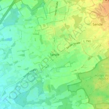
Name: Sende topographic map, elevation, terrain.
Location: Sende, Verl, Kreis Gütersloh, Nordrhein-Westfalen, Deutschland (51.88635 8.53244 51.92635 8.57244)
Average elevation: 104 m
Minimum elevation: 92 m
Maximum elevation: 121 m
Sende liegt auf einer Höhe von 110 m ü. NN am Westrand der Senne südwestlich des Teutoburger Waldes.