
Thank you for supporting this site ❤️
Make a donation
Make a donation
Diele topographic map
Click on the map to display elevation.
Thank you for supporting this site ❤️
Make a donation
Make a donation
About this map
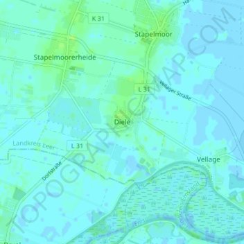
Name: Diele topographic map, elevation, terrain.
Location: Diele, Weener, Landkreis Leer, Niedersachsen, Deutschland (53.10015 7.29172 53.14015 7.33172)
Average elevation: 2 m
Minimum elevation: -2 m
Maximum elevation: 9 m
Thank you for supporting this site ❤️
Make a donation
Make a donation