
Thank you for supporting this site ❤️
Make a donation
Make a donation
Dibai topographic map
Click on the map to display elevation.
Thank you for supporting this site ❤️
Make a donation
Make a donation
Dibai
Dibai is located at 28°13′N 78°15′E / 28.22°N 78.25°E / 28.22; 78.25. It has an average elevation of 184 metres (603 feet).
Thank you for supporting this site ❤️
Make a donation
Make a donation
About this map
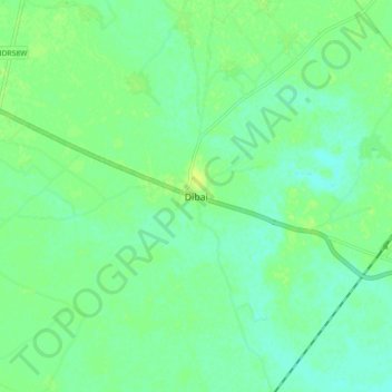
Name: Dibai topographic map, elevation, terrain.
Location: Dibai, Debai, Bulandshahr, Uttar Pradesh, 202393, India (28.16545 78.22072 28.24545 78.30072)
Average elevation: 190 m
Minimum elevation: 183 m
Maximum elevation: 197 m
Thank you for supporting this site ❤️
Make a donation
Make a donation