
Epworth topographic map
Interactive map
Click on the map to display elevation.
About this map
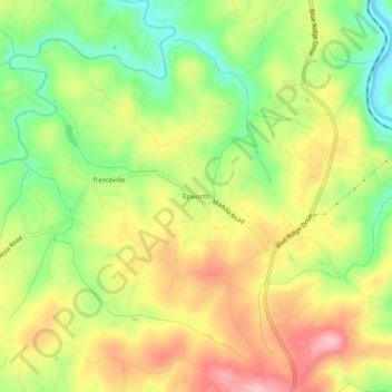
Name: Epworth topographic map, elevation, terrain.
Location: Epworth, Fannin County, Georgia, 30555, United States (34.93064 -84.40492 34.97064 -84.36492)
Average elevation: 524 m
Minimum elevation: 444 m
Maximum elevation: 607 m