
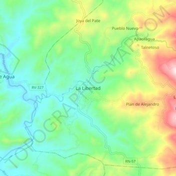
La Libertad topographic map
Interactive map
Click on the map to display elevation.
About this map
Name: La Libertad topographic map, elevation, terrain.
Location: La Libertad, Comayagua, Honduras (14.71811 -87.64873 14.79811 -87.56873)
Average elevation: 564 m
Minimum elevation: 307 m
Maximum elevation: 1,145 m