
Ayuni topographic map
Interactive map
Click on the map to display elevation.
About this map
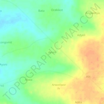
Name: Ayuni topographic map, elevation, terrain.
Location: Ayuni, Dokolo, Northern Region, Ouganda (1.78473 33.04876 1.82473 33.08876)
Average elevation: 1,059 m
Minimum elevation: 1,041 m
Maximum elevation: 1,078 m