
Kingfisher County topographic map
Interactive map
Click on the map to display elevation.
About this map
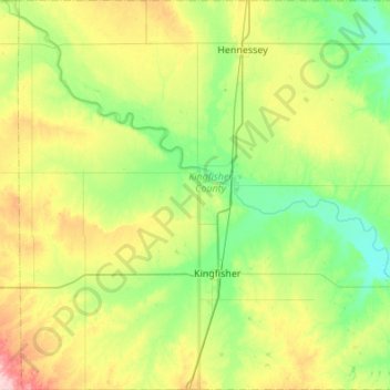
Name: Kingfisher County topographic map, elevation, terrain.
Location: Kingfisher County, Oklahoma, United States (35.72509 -98.21207 36.16501 -97.67399)
Average elevation: 345 m
Minimum elevation: 292 m
Maximum elevation: 468 m