
Thank you for supporting this site ❤️
Make a donation
Make a donation
Hesperia topographic map
Click on the map to display elevation.
Thank you for supporting this site ❤️
Make a donation
Make a donation
Hesperia
Hesperia is a city in San Bernardino County, California, United States. It is located 35 miles (56 km) north of downtown San Bernardino in Victor Valley and surrounded by the Mojave Desert. Because of its relatively high elevation and the unique and moderate weather patterns of the region, Hesperia is part of what is locally called the High Desert. The name "Hesperia" means "western land". The 2019 census report estimates that the city has a population of 95,750.
Thank you for supporting this site ❤️
Make a donation
Make a donation
About this map
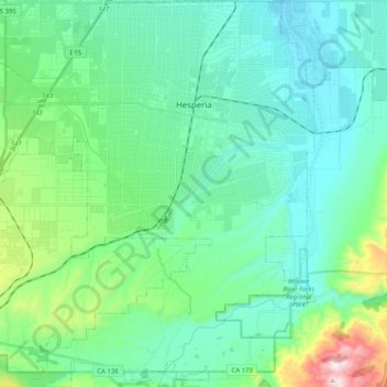
Name: Hesperia topographic map, elevation, terrain.
Location: Hesperia, San Bernardino County, California, United States (34.30424 -117.43987 34.47122 -117.23776)
Average elevation: 1,027 m
Minimum elevation: 859 m
Maximum elevation: 1,721 m
Thank you for supporting this site ❤️
Make a donation
Make a donation