
Thank you for supporting this site ❤️
Make a donation
Make a donation
Lauffohr topographic map
Click on the map to display elevation.
Thank you for supporting this site ❤️
Make a donation
Make a donation
About this map
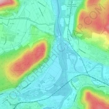
Name: Lauffohr topographic map, elevation, terrain.
Location: Lauffohr, Brugg, Bezirk Brugg, Aargau, 5235, Schweiz (47.48076 8.21115 47.52076 8.25115)
Average elevation: 390 m
Minimum elevation: 322 m
Maximum elevation: 570 m
Thank you for supporting this site ❤️
Make a donation
Make a donation