
Thank you for supporting this site ❤️
Make a donation
Make a donation
Heldarstindur topographic map
Click on the map to display elevation.
Thank you for supporting this site ❤️
Make a donation
Make a donation
About this map
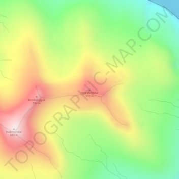
Name: Heldarstindur topographic map, elevation, terrain.
Location: Heldarstindur, Sandavágur, Vága sýsla, 360, Færøerne (62.08289 -7.10323 62.08299 -7.10313)
Average elevation: 307 m
Minimum elevation: 0 m
Maximum elevation: 651 m
Thank you for supporting this site ❤️
Make a donation
Make a donation