
Thank you for supporting this site ❤️
Make a donation
Make a donation
Bollin topographic map
Click on the map to display elevation.
Thank you for supporting this site ❤️
Make a donation
Make a donation
About this map
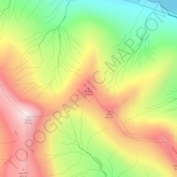
Name: Bollin topographic map, elevation, terrain.
Location: Bollin, Hvalvík, Streymoyar sýsla, 430, Færøerne (62.17016 -7.02658 62.17026 -7.02648)
Average elevation: 377 m
Minimum elevation: 0 m
Maximum elevation: 741 m
Thank you for supporting this site ❤️
Make a donation
Make a donation