
Laguna Purhuay topographic map
Interactive map
Click on the map to display elevation.
About this map
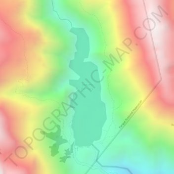
Name: Laguna Purhuay topographic map, elevation, terrain.
Location: Laguna Purhuay, AN-657, Huari, Áncash, Perú (-9.31418 -77.20797 -9.29564 -77.20199)
Average elevation: 3,777 m
Minimum elevation: 3,285 m
Maximum elevation: 4,279 m
Other topographic maps
Click on a map to view its topography, its elevation and its terrain.