
Berea topographic map
Interactive map
Click on the map to display elevation.
About this map
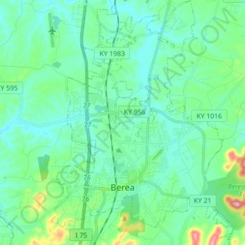
Name: Berea topographic map, elevation, terrain.
Location: Berea, Madison County, Kentucky, États-Unis d'Amérique (37.54540 -84.33198 37.64341 -84.23999)
Average elevation: 300 m
Minimum elevation: 261 m
Maximum elevation: 463 m