
Ravenswaaij topographic map
Interactive map
Click on the map to display elevation.
About this map
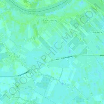
Name: Ravenswaaij topographic map, elevation, terrain.
Location: Ravenswaaij, Buren, Geldern, Niederlande (51.92975 5.30411 51.95705 5.35227)
Average elevation: 4 m
Minimum elevation: 1 m
Maximum elevation: 9 m
Other topographic maps
Click on a map to view its topography, its elevation and its terrain.