
Aeroporto topographic map
Interactive map
Click on the map to display elevation.
About this map
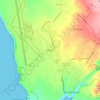
Name: Aeroporto topographic map, elevation, terrain.
Location: Aeroporto, Vila do Porto, Azores, 9580-408, Portugal (36.94495 -25.17612 36.98495 -25.13612)
Average elevation: 91 m
Minimum elevation: 0 m
Maximum elevation: 207 m