
De Waal topographic map
Interactive map
Click on the map to display elevation.
About this map
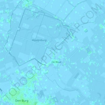
Name: De Waal topographic map, elevation, terrain.
Location: De Waal, Texel, Nordholland, Niederlande (53.05324 4.78611 53.10070 4.86554)
Average elevation: -1 m
Minimum elevation: -4 m
Maximum elevation: 5 m
Other topographic maps
Click on a map to view its topography, its elevation and its terrain.
Den Burg
Niederlande > Nordholland > Texel
Den Burg, Texel, Nordholland, Niederlande
Average elevation: 1 m