
Thank you for supporting this site ❤️
Make a donation
Make a donation
Cigasong topographic map
Click on the map to display elevation.
Thank you for supporting this site ❤️
Make a donation
Make a donation
About this map
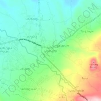
Name: Cigasong topographic map, elevation, terrain.
Location: Cigasong, Majalengka, West Java, Java, 45411, Indonesia (-6.85792 108.23363 -6.81792 108.27363)
Average elevation: 184 m
Minimum elevation: 103 m
Maximum elevation: 356 m
Thank you for supporting this site ❤️
Make a donation
Make a donation