
Thank you for supporting this site ❤️
Make a donation
Make a donation
Moncé topographic map
Click on the map to display elevation.
Thank you for supporting this site ❤️
Make a donation
Make a donation
About this map
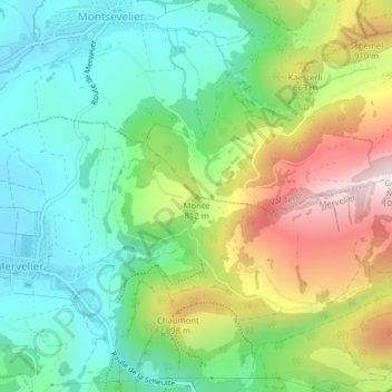
Name: Moncé topographic map, elevation, terrain.
Location: Moncé, Val Terbi, District de Delémont, Jura, 2824, Suisse (47.34859 7.51646 47.34869 7.51656)
Average elevation: 730 m
Minimum elevation: 549 m
Maximum elevation: 1,063 m
Thank you for supporting this site ❤️
Make a donation
Make a donation