
Thank you for supporting this site ❤️
Make a donation
Make a donation
Mungele topographic map
Click on the map to display elevation.
Thank you for supporting this site ❤️
Make a donation
Make a donation
About this map
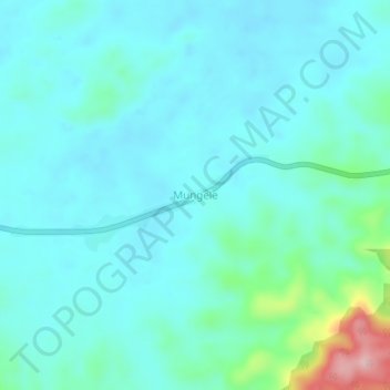
Name: Mungele topographic map, elevation, terrain.
Location: Mungele, Lubutu, Maniema, República Democrática del Congo (-1.02435 27.14164 -0.98435 27.18164)
Average elevation: 608 m
Minimum elevation: 574 m
Maximum elevation: 788 m
Thank you for supporting this site ❤️
Make a donation
Make a donation