
Thank you for supporting this site ❤️
Make a donation
Make a donation
Mixtequilla topographic map
Click on the map to display elevation.
Thank you for supporting this site ❤️
Make a donation
Make a donation
About this map
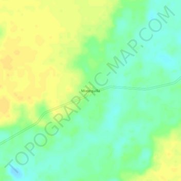
Name: Mixtequilla topographic map, elevation, terrain.
Location: Mixtequilla, Felipe Carrillo Puerto, Quintana Roo, México (19.36654 -88.28498 19.40654 -88.24498)
Average elevation: 17 m
Minimum elevation: 5 m
Maximum elevation: 27 m
Thank you for supporting this site ❤️
Make a donation
Make a donation