
Thank you for supporting this site ❤️
Make a donation
Make a donation
Skrunda topographic map
Click on the map to display elevation.
Thank you for supporting this site ❤️
Make a donation
Make a donation
About this map
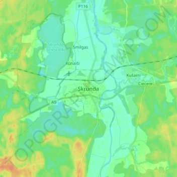
Name: Skrunda topographic map, elevation, terrain.
Location: Skrunda, Kuldīgas novads, Courland, LV-3326, Latvia (56.63684 21.97561 56.71684 22.05561)
Average elevation: 37 m
Minimum elevation: 23 m
Maximum elevation: 67 m
Thank you for supporting this site ❤️
Make a donation
Make a donation