
棉湖镇 topographic map
Interactive map
Click on the map to display elevation.
About this map
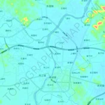
Name: 棉湖镇 topographic map, elevation, terrain.
Location: 棉湖镇, 揭西县, 揭阳市, 广东省, 中国 (23.41832 116.11243 23.50775 116.18391)
Average elevation: 13 m
Minimum elevation: 2 m
Maximum elevation: 116 m
Other topographic maps
Click on a map to view its topography, its elevation and its terrain.