
Baluran topographic map
Interactive map
Click on the map to display elevation.
About this map
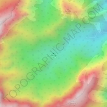
Name: Baluran topographic map, elevation, terrain.
Location: Baluran, Situbondo, Jatim, Indonesië (-7.83624 114.37789 -7.83614 114.37799)
Average elevation: 692 m
Minimum elevation: 299 m
Maximum elevation: 1,125 m
Other topographic maps
Click on a map to view its topography, its elevation and its terrain.