
Thank you for supporting this site ❤️
Make a donation
Make a donation
Coor topographic map
Click on the map to display elevation.
Thank you for supporting this site ❤️
Make a donation
Make a donation
About this map
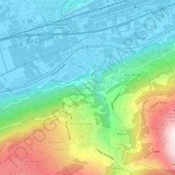
Name: Coor topographic map, elevation, terrain.
Location: Coor, Aproz, Nendaz, Conthey, Valais, 1994, Suisse (46.18077 7.29415 46.22077 7.33415)
Average elevation: 785 m
Minimum elevation: 473 m
Maximum elevation: 1,544 m
Thank you for supporting this site ❤️
Make a donation
Make a donation