
Thank you for supporting this site ❤️
Make a donation
Make a donation
Tilottama topographic map
Click on the map to display elevation.
Thank you for supporting this site ❤️
Make a donation
Make a donation
About this map
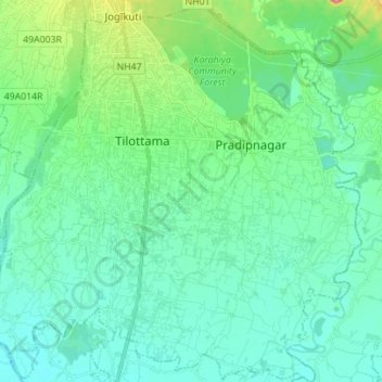
Name: Tilottama topographic map, elevation, terrain.
Location: Tilottama, Rupandehi, Lumbini Province, Nepal (27.55004 83.41429 27.67307 83.55177)
Average elevation: 125 m
Minimum elevation: 106 m
Maximum elevation: 202 m
Thank you for supporting this site ❤️
Make a donation
Make a donation
Other topographic maps
Click on a map to view its topography, its elevation and its terrain.