
Murg topographic map
Interactive map
Click on the map to display elevation.
About this map
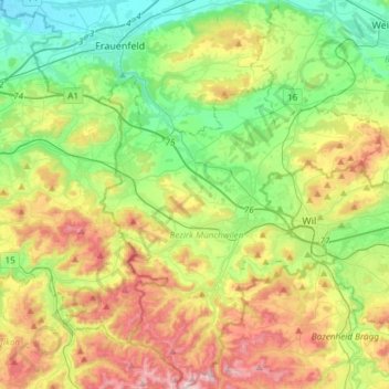
Name: Murg topographic map, elevation, terrain.
Location: Murg, Bezirk Münchwilen, Thurgovie, 8376, Suisse (47.37828 8.88362 47.57973 8.99778)
Average elevation: 596 m
Minimum elevation: 376 m
Maximum elevation: 982 m