
Town of Lac du Flambeau topographic map
Interactive map
Click on the map to display elevation.
About this map
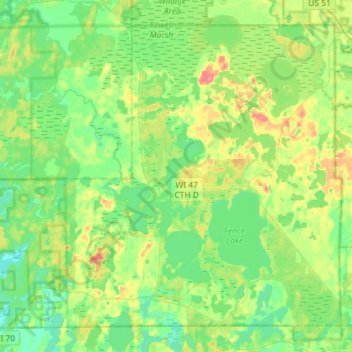
Name: Town of Lac du Flambeau topographic map, elevation, terrain.
Average elevation: 491 m
Minimum elevation: 473 m
Maximum elevation: 531 m