
Butler County topographic map
Interactive map
Click on the map to display elevation.
About this map
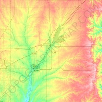
Name: Butler County topographic map, elevation, terrain.
Location: Butler County, Kansas, USA (37.47639 -97.15366 38.08793 -96.52383)
Average elevation: 425 m
Minimum elevation: 357 m
Maximum elevation: 510 m
Other topographic maps
Click on a map to view its topography, its elevation and its terrain.