
Thank you for supporting this site ❤️
Make a donation
Make a donation
Istana topographic map
Click on the map to display elevation.
Thank you for supporting this site ❤️
Make a donation
Make a donation
About this map
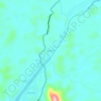
Name: Istana topographic map, elevation, terrain.
Location: Istana, Sandai, Ketapang, West Kalimantan, Indonesia (-1.24657 110.51594 -1.20657 110.55594)
Average elevation: 35 m
Minimum elevation: 3 m
Maximum elevation: 240 m
Thank you for supporting this site ❤️
Make a donation
Make a donation