
Thank you for supporting this site ❤️
Make a donation
Make a donation
Baralacha Pass topographic map
Click on the map to display elevation.
Thank you for supporting this site ❤️
Make a donation
Make a donation
Baralacha Pass
"The Bara Lacha is the boundary between two separate regions distinguished by their physical characteristics. That which we have already passed through may be called the true Himalayan region. Here the gigantic ranges are covered with perpetual snow, furrowed by glaciers, and they arise from amid dense forests which clothe their flanks up to a certain elevation. They are separated by deep gorges, whose sides are precipices, and though which large rivers flow. In fact the scenery is Alpine.
Thank you for supporting this site ❤️
Make a donation
Make a donation
About this map
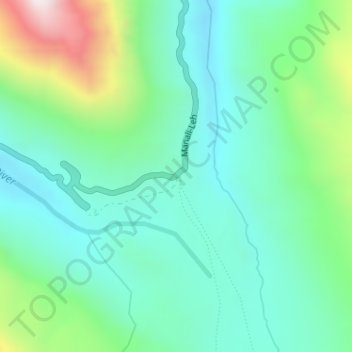
Name: Baralacha Pass topographic map, elevation, terrain.
Average elevation: 4,983 m
Minimum elevation: 4,770 m
Maximum elevation: 5,595 m
Thank you for supporting this site ❤️
Make a donation
Make a donation
Other topographic maps
Click on a map to view its topography, its elevation and its terrain.