
Thank you for supporting this site ❤️
Make a donation
Make a donation
Kurand topographic map
Click on the map to display elevation.
Thank you for supporting this site ❤️
Make a donation
Make a donation
About this map
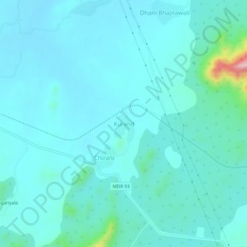
Name: Kurand topographic map, elevation, terrain.
Location: Kurand, Khetri Tehsil, Neem Ka Thana, Rajasthan, India (28.00672 75.81982 28.04672 75.85982)
Average elevation: 382 m
Minimum elevation: 351 m
Maximum elevation: 617 m
Thank you for supporting this site ❤️
Make a donation
Make a donation