
Llançà topographic map
Interactive map
Click on the map to display elevation.
About this map
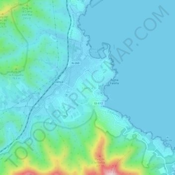
Name: Llançà topographic map, elevation, terrain.
Location: Llançà, Alto Ampurdán, Gerona, Cataluña, 17490, España (42.34462 3.13814 42.38462 3.17814)
Average elevation: 53 m
Minimum elevation: -1 m
Maximum elevation: 387 m