
Thank you for supporting this site ❤️
Make a donation
Make a donation
Carvalhais topographic map
Click on the map to display elevation.
Thank you for supporting this site ❤️
Make a donation
Make a donation
About this map
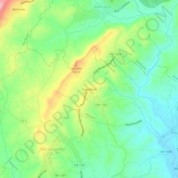
Name: Carvalhais topographic map, elevation, terrain.
Location: Carvalhais, Fráguas, Rio Maior, Santarém, 2040-150, Portugal (39.36644 -8.90116 39.40644 -8.86116)
Average elevation: 109 m
Minimum elevation: 37 m
Maximum elevation: 246 m
Thank you for supporting this site ❤️
Make a donation
Make a donation