
Thank you for supporting this site ❤️
Make a donation
Make a donation
pandar topographic map
Click on the map to display elevation.
Thank you for supporting this site ❤️
Make a donation
Make a donation
About this map
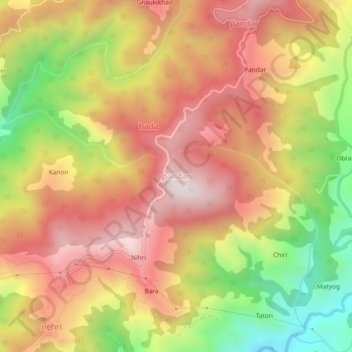
Name: pandar topographic map, elevation, terrain.
Location: pandar, Nihri, Mandi, Himachal Pradesh, 175031, India (31.39796 77.02440 31.43796 77.06440)
Average elevation: 2,031 m
Minimum elevation: 1,563 m
Maximum elevation: 2,385 m
Thank you for supporting this site ❤️
Make a donation
Make a donation