
Haripur topographic map
Interactive map
Click on the map to display elevation.
About this map
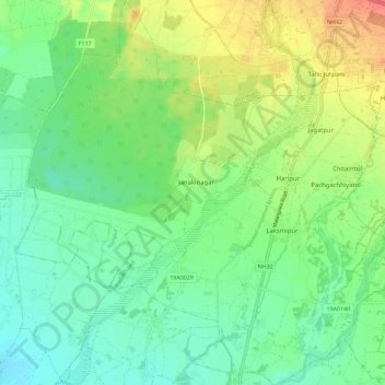
Name: Haripur topographic map, elevation, terrain.
Location: Haripur, Sarlahi, Province #2, Nepal (26.96351 85.48977 27.06445 85.59967)
Average elevation: 112 m
Minimum elevation: 93 m
Maximum elevation: 146 m
Other topographic maps
Click on a map to view its topography, its elevation and its terrain.