
Thank you for supporting this site ❤️
Make a donation
Make a donation
Bath topographic map
Click on the map to display elevation.
Thank you for supporting this site ❤️
Make a donation
Make a donation
About this map
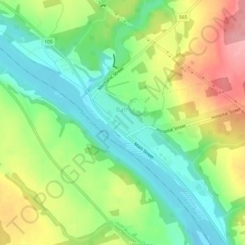
Name: Bath topographic map, elevation, terrain.
Location: Bath, Kent Parish, Carleton County, New Brunswick, Canada (46.49548 -67.60177 46.52510 -67.57063)
Average elevation: 101 m
Minimum elevation: 51 m
Maximum elevation: 173 m
Thank you for supporting this site ❤️
Make a donation
Make a donation