
Thank you for supporting this site ❤️
Make a donation
Make a donation
Bear Canyon topographic map
Click on the map to display elevation.
Thank you for supporting this site ❤️
Make a donation
Make a donation
About this map
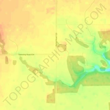
Name: Bear Canyon topographic map, elevation, terrain.
Location: Bear Canyon, Clear Hills County, Alberta, Canada (56.20724 -119.83039 56.22724 -119.81039)
Average elevation: 638 m
Minimum elevation: 611 m
Maximum elevation: 648 m
Thank you for supporting this site ❤️
Make a donation
Make a donation