
Thank you for supporting this site ❤️
Make a donation
Make a donation
Pedro Luro topographic map
Click on the map to display elevation.
Thank you for supporting this site ❤️
Make a donation
Make a donation
About this map
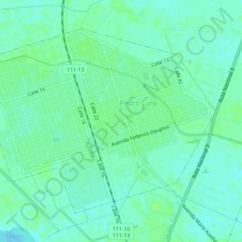
Name: Pedro Luro topographic map, elevation, terrain.
Location: Pedro Luro, Partido de Villarino, Buenos Aires, Argentina (-39.51496 -62.70604 -39.49261 -62.66808)
Average elevation: 18 m
Minimum elevation: 13 m
Maximum elevation: 23 m
Thank you for supporting this site ❤️
Make a donation
Make a donation