
Thank you for supporting this site ❤️
Make a donation
Make a donation
Klintonel topographic map
Click on the map to display elevation.
Thank you for supporting this site ❤️
Make a donation
Make a donation
About this map
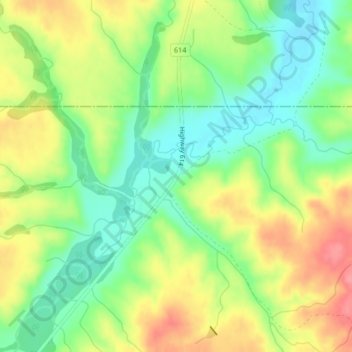
Name: Klintonel topographic map, elevation, terrain.
Location: Klintonel, White Valley No. 49, Saskatchewan, Canada (49.68293 -108.92357 49.70293 -108.90357)
Average elevation: 1,094 m
Minimum elevation: 1,056 m
Maximum elevation: 1,141 m
Thank you for supporting this site ❤️
Make a donation
Make a donation