
Province of Antabamba topographic map
Interactive map
Click on the map to display elevation.
About this map
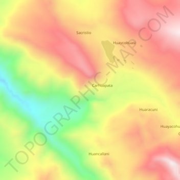
Name: Province of Antabamba topographic map, elevation, terrain.
Location: Province of Antabamba, Antabamba, Apurímac, Peru (-14.47272 -72.73873 -14.43272 -72.69873)
Average elevation: 4,507 m
Minimum elevation: 4,122 m
Maximum elevation: 4,798 m