
Chiguata topographic map
Interactive map
Click on the map to display elevation.
About this map
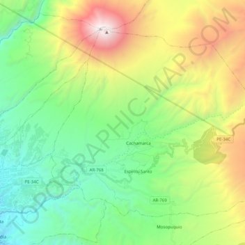
Name: Chiguata topographic map, elevation, terrain.
Location: Chiguata, Arequipa, Peru (-16.44180 -71.45108 -16.29621 -71.25407)
Average elevation: 3,541 m
Minimum elevation: 2,425 m
Maximum elevation: 5,816 m