
Thank you for supporting this site ❤️
Make a donation
Make a donation
Cherhill topographic map
Click on the map to display elevation.
Thank you for supporting this site ❤️
Make a donation
Make a donation
About this map
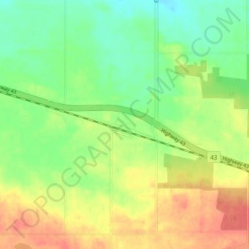
Name: Cherhill topographic map, elevation, terrain.
Location: Cherhill, Lac Ste. Anne County, Alberta, Canada (53.80009 -114.69999 53.84009 -114.65999)
Average elevation: 727 m
Minimum elevation: 704 m
Maximum elevation: 753 m
Thank you for supporting this site ❤️
Make a donation
Make a donation