
Puna topographic map
Interactive map
Click on the map to display elevation.
About this map
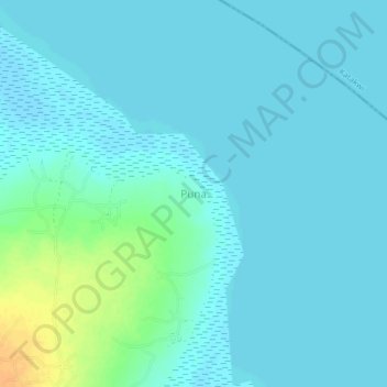
Name: Puna topographic map, elevation, terrain.
Location: Puna, Ngora, Eastern Region, Ouganda (1.63047 33.85295 1.67047 33.89295)
Average elevation: 1,046 m
Minimum elevation: 1,041 m
Maximum elevation: 1,071 m
Other topographic maps
Click on a map to view its topography, its elevation and its terrain.