
古武当山景区 topographic map
Interactive map
Click on the map to display elevation.
About this map
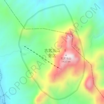
Name: 古武当山景区 topographic map, elevation, terrain.
Location: 古武当山景区, 摩天仙桥, 武安市, 邯郸市, 河北省, 056000, 中国 (36.94615 113.94372 36.97103 113.96534)
Average elevation: 930 m
Minimum elevation: 690 m
Maximum elevation: 1,365 m
Other topographic maps
Click on a map to view its topography, its elevation and its terrain.