
青崖寨 topographic map
Interactive map
Click on the map to display elevation.
About this map
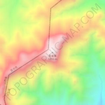
Name: 青崖寨 topographic map, elevation, terrain.
Location: 青崖寨, 邯郸市, 河北省, 056000, 中国 (36.96591 113.76948 36.96601 113.76958)
Average elevation: 1,483 m
Minimum elevation: 1,052 m
Maximum elevation: 1,874 m
Other topographic maps
Click on a map to view its topography, its elevation and its terrain.