
Thank you for supporting this site ❤️
Make a donation
Make a donation
Limestone Gap topographic map
Click on the map to display elevation.
Thank you for supporting this site ❤️
Make a donation
Make a donation
About this map
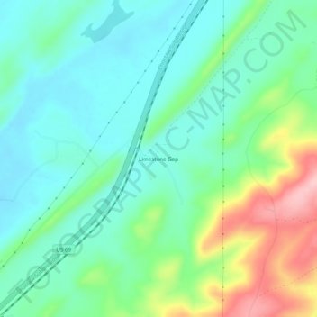
Name: Limestone Gap topographic map, elevation, terrain.
Location: Limestone Gap, Atoka County, Oklahoma, United States (34.58065 -95.99138 34.62065 -95.95138)
Average elevation: 232 m
Minimum elevation: 184 m
Maximum elevation: 353 m
Thank you for supporting this site ❤️
Make a donation
Make a donation
Other topographic maps
Click on a map to view its topography, its elevation and its terrain.