
Thank you for supporting this site ❤️
Make a donation
Make a donation
Pandan Reservoir topographic map
Click on the map to display elevation.
Thank you for supporting this site ❤️
Make a donation
Make a donation
About this map
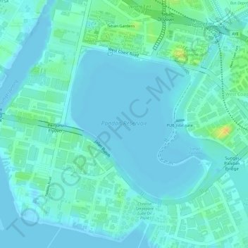
Name: Pandan Reservoir topographic map, elevation, terrain.
Location: Pandan Reservoir, Jurong East, Southwest, Singapore (1.30353 103.73536 1.31980 103.74992)
Average elevation: 6 m
Minimum elevation: -2 m
Maximum elevation: 30 m
Thank you for supporting this site ❤️
Make a donation
Make a donation
Other topographic maps
Click on a map to view its topography, its elevation and its terrain.