
Nijbroek topographic map
Interactive map
Click on the map to display elevation.
About this map
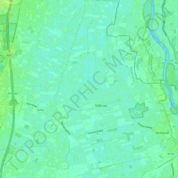
Name: Nijbroek topographic map, elevation, terrain.
Location: Nijbroek, Voorst, Geldern, Niederlande (52.26495 6.03463 52.33091 6.09184)
Average elevation: 4 m
Minimum elevation: -3 m
Maximum elevation: 11 m
Other topographic maps
Click on a map to view its topography, its elevation and its terrain.