
Teuge topographic map
Interactive map
Click on the map to display elevation.
About this map
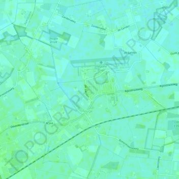
Name: Teuge topographic map, elevation, terrain.
Location: Teuge, Voorst, Geldern, Niederlande (52.22123 6.02988 52.25367 6.07254)
Average elevation: 6 m
Minimum elevation: 2 m
Maximum elevation: 10 m
Other topographic maps
Click on a map to view its topography, its elevation and its terrain.